
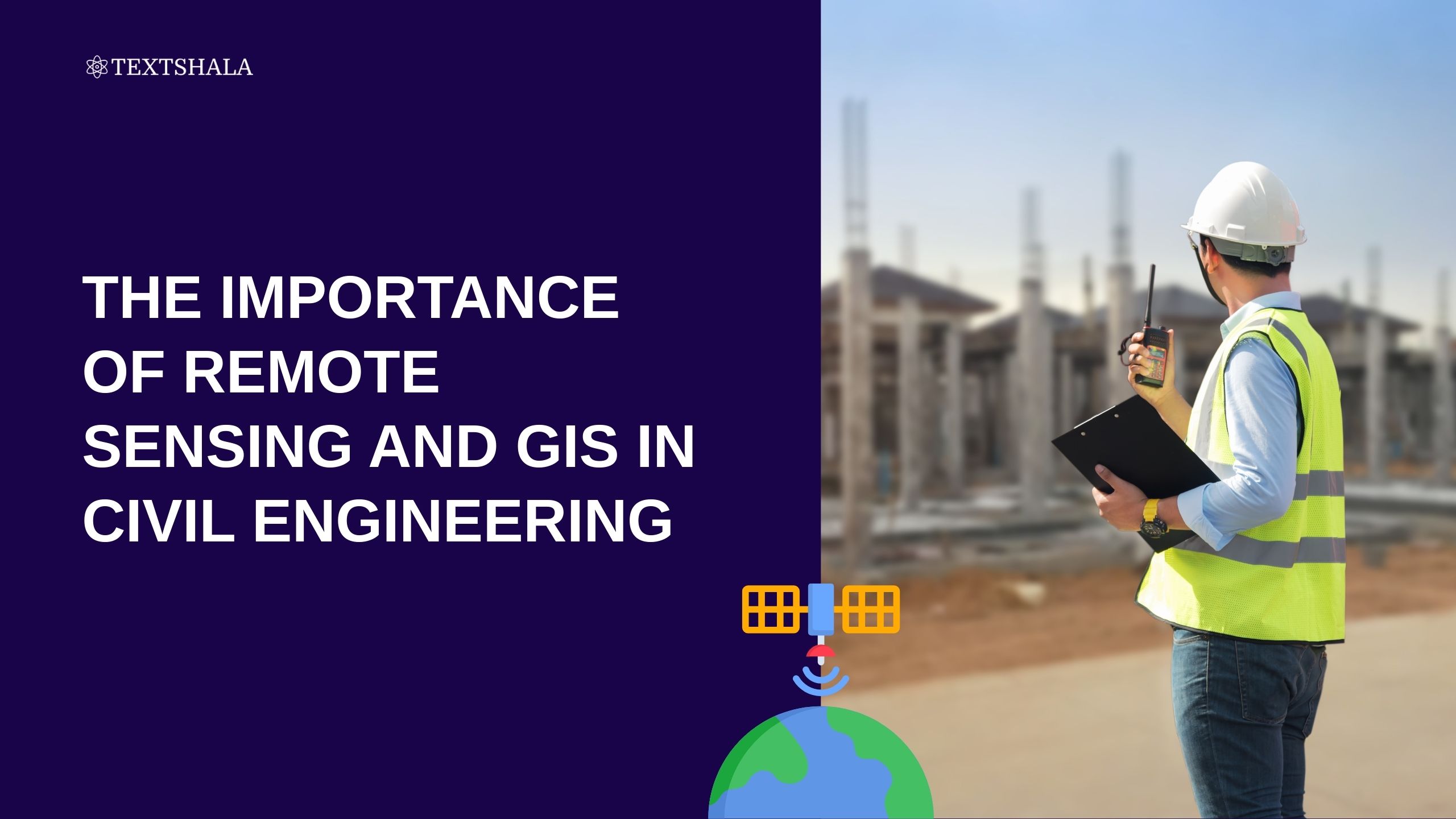
The Importance of Remote Sensing and GIS in Civil Engineering
Civil engineering has come a long way from traditional surveying methods and manual calculations. With the emergence of remote sensing and GIS, engineers now have access to advanced tools that enable them to design, plan, and manage infrastructure projects with unmatched precision. These technologies are revolutionizing how engineers approach data collection, analysis, and decision-making.
In this blog, we explore the significance of remote sensing and GIS in civil engineering, their practical applications, and why they are essential for modern infrastructure development.
Understanding Remote Sensing and GIS
What is Remote Sensing?
Remote sensing involves gathering information about the Earth’s surface using satellites, drones, or aerial photography without making direct contact. It plays a crucial role in civil engineering by providing large-scale, accurate, and up-to-date data essential for topographic analysis and site evaluation.
This technology supports civil engineers in identifying terrain features, monitoring environmental conditions, and assessing geographic changes over time.
What is GIS (Geographic Information System)?
Geographic Information System (GIS) is a powerful tool for collecting, managing, and analyzing spatial and geographic data. It integrates data from remote sensing and other sources to create visualizations like maps and 3D models.
In civil engineering, GIS aids in spatial planning, resource allocation, and informed decision-making throughout the project lifecycle.
The Role of Remote Sensing and GIS in Civil Engineering
Remote Sensing in Surveying and Land Assessment
Remote sensing provides high-resolution imagery for terrain mapping, elevation modeling, and land use classification. It enhances the accuracy of topographical surveys and reduces the need for manual fieldwork.
GIS in Infrastructure Planning and Design
Civil engineers use GIS in infrastructure design to map utilities, plan drainage systems, and optimize road layouts. Spatial analysis tools enable planners to visualize scenarios and make data-driven decisions early in the design process.
Monitoring and Managing Construction Projects
Integrating GIS with remote sensing enables real-time monitoring of construction progress. Engineers can track changes, identify delays, and assess environmental impacts using comprehensive spatial datasets.
Disaster Management and Risk Assessment
GIS and remote sensing play a vital role in disaster mitigation, allowing engineers to analyze flood zones, landslide-prone areas, and other hazards. These insights help design resilient infrastructure to minimize potential risks.
Applications of Remote Sensing and GIS in Civil Engineering
Urban Planning
Civil engineers use GIS to analyze population trends, land use patterns, and urban growth. This helps optimize land allocation and ensures efficient infrastructure development.
Transportation Systems
GIS supports the planning of efficient transportation networks by analyzing traffic patterns, road conditions, and connectivity. Remote sensing aids in assessing wear and tear on road surfaces and identifying bottlenecks.
Water Resources Management
From mapping watersheds to designing irrigation and drainage systems, remote sensing and GIS are indispensable tools. Engineers monitor reservoir levels, detect water quality issues, and ensure sustainable use of water resources.
Environmental Impact Studies
Civil projects often require environmental assessments. Remote sensing helps monitor vegetation cover, pollution, and erosion, while GIS provides spatial analysis for eco-friendly planning and regulatory compliance.
Advantages of Remote Sensing and GIS in Civil Engineering
Enhanced Precision and Efficiency
Remote sensing and GIS reduce human error, speed up data collection, and provide highly accurate information. This leads to better decision-making and improved project timelines.
Cost-Effectiveness
By reducing the need for extensive fieldwork and optimizing resource allocation, these technologies help civil engineering firms save on costs without compromising on quality.
Sustainability
Evaluating environmental impacts and planning with sustainability in mind is easier with remote sensing and GIS. These tools allow engineers to design greener and more sustainable infrastructure.
Recommended Remote Sensing Books and GIS Resources
Top Remote Sensing Books
- “Remote Sensing and Image Interpretation” by Thomas M. Lillesand
- “Fundamentals of Remote Sensing” by George Joseph
These books are excellent for understanding the theoretical foundations and practical applications of remote sensing.
Essential GIS Books
- “Geographic Information Systems and Science” by Paul A. Longley
- “GIS for Civil Engineers” by Andrew Wright
These resources offer valuable insights into how GIS is applied in civil engineering projects.
Future Trends in Remote Sensing and GIS for Civil Engineering
Integration of AI and Machine Learning
Future GIS tools will increasingly use AI and machine learning to analyze complex spatial data, forecast outcomes, and automate decision-making.
Real-Time Monitoring
With the rise of drones and IoT-enabled sensors, real-time data collection is becoming more accessible, allowing engineers to monitor sites instantly and respond faster to issues.
Advancements in Remote Sensing Technology
The future promises more high-resolution satellite imagery, faster data processing, and better integration with BIM (Building Information Modeling) for holistic project planning.
Conclusion
Remote sensing and GIS have become essential pillars in civil engineering. From planning and monitoring to sustainability and risk assessment, these technologies are enhancing how engineers build and manage modern infrastructure.
By adopting these tools and mastering their applications, civil engineers can improve efficiency, reduce costs, and contribute to more sustainable urban and rural development.
FAQs
Q1: What is the importance of GIS in civil engineering?
A1: GIS supports infrastructure planning, spatial analysis, and project management, improving efficiency and accuracy.
Q2: How does remote sensing contribute to civil engineering?
A2: It provides vital data for terrain mapping, environmental studies, and disaster risk assessments, enhancing project planning.
Q3: Can remote sensing and GIS improve sustainability in civil engineering?
A3: Yes, these tools help evaluate environmental impacts and support sustainable design choices.
Q4: What are the best remote sensing books for beginners?
A4: “Remote Sensing and Image Interpretation” by Thomas M. Lillesand and “Fundamentals of Remote Sensing” by George Joseph are excellent starting points.
Q5: What is the future of GIS in civil engineering?
A5: The future lies in AI-powered analytics, real-time monitoring, and smarter GIS systems for sustainable infrastructure.